World’s northernmost satellite laser ranging system now operational in Ny-Ålesund
Text by Kartverket. Photos by Bjørn-Owe Holmberg. See also the original article (in Norwegian)
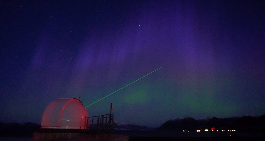
NASA has handed over the world’s northernmost Satellite Laser Ranging (SLR) system to the Norwegian Mapping Authority. With this, Norway’s geodetic Earth observatory in Ny-Ålesund, Svalbard, has been fully completed after 15 years of development.
The new SLR facility marks the completion of a long-term development project that has made Ny-Ålesund home to one of the world’s most comprehensive geodetic Earth observatories. For the first time, all four space geodesy techniques are co-located at one site in Norway.
“It is absolutely fantastic to see that we have finally reached this milestone. It is now exactly 20 years since the idea was first conceived,” says Per Erik Opseth, Director of Positioning, Navigation and Timing at the Norwegian Mapping Authority.
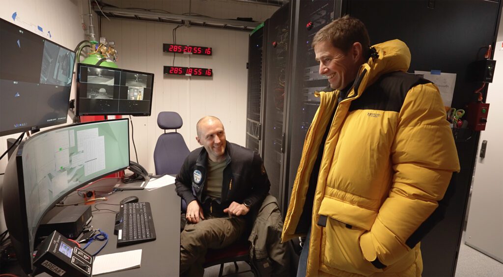
Tracking satellites over the North Pole
Satellites are essential for navigation, positioning, communication and monitoring the Earth’s environment. To make use of satellite data, we need to know their exact position in space.
This is where the new laser station comes in.
From the control room in Ny-Ålesund, Senior Engineer Ole Johan Ekeli Klingan tracks Stella, a satellite that passes over the North Pole at an altitude of around 800 kilometres above the Earth’s surface.
“This laser gives us a unique opportunity to track satellites as they pass over the North Pole. It provides data that we have not previously had access to on how satellites move and how their altitude changes over the polar regions. It also enables more precise measurements of ice thickness and sea level,” says Klingan.
SLR technology works by sending laser pulses from the ground towards reflectors on satellites. By measuring the time it takes for the signal to return, the distance to the satellite can be determined with extremely high precision.
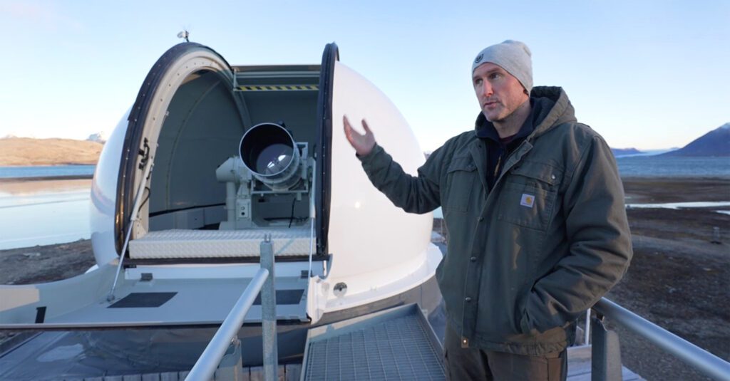
Strengthening global satellite services
The SLR station in Ny-Ålesund is the first of its kind delivered by NASA and the northernmost in the world. Together with similar stations around the globe, it contributes to more accurate satellite orbits and improved determination of the Earth’s centre of mass. This is fundamental to satellite-based services and systems such as GPS, Galileo, EGNOS, Copernicus and other Earth observation systems.
Data from the Earth observatory form part of the global geodesy supply chain, enabling measurements of sea-level rise, ice melt, land movements and the Earth’s orientation in space.
All four space geodesy techniques in one location
With the SLR facility in place, the Earth observatory in Ny-Ålesund now hosts all four space geodesy techniques: VLBI (Very Long Baseline Interferometry), SLR (Satellite Laser Ranging), GNSS (Global Navigation Satellite System) and DORIS (Doppler Orbitography and Radiopositioning Integrated by Satellite).
The techniques measure different components of the Earth system, from distant stars to satellites and the Earth’s centre of mass. Together, they provide the foundation for precise positioning and for monitoring changes on Earth.
This makes the geodetic Earth observatory a key part of the global infrastructure on which the world’s satellite-based services depend.
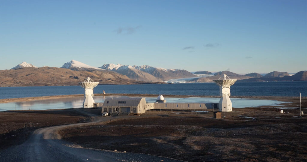
An important contribution from Norway
The ceremony marking the completion of the SLR facility in Ny-Ålesund was attended by, among others, Norway’s Minister of Local Government and Regional Development, Bjørnar Selnes Skjæran, and NASA Director Julie Robinson.
“This is both exciting and impressive, and something we can be very proud of. It is the northernmost, and perhaps one of the most important, observatories in a large international network. It is Norway’s most important contribution to accurate navigation and positioning,” says Skjæran.
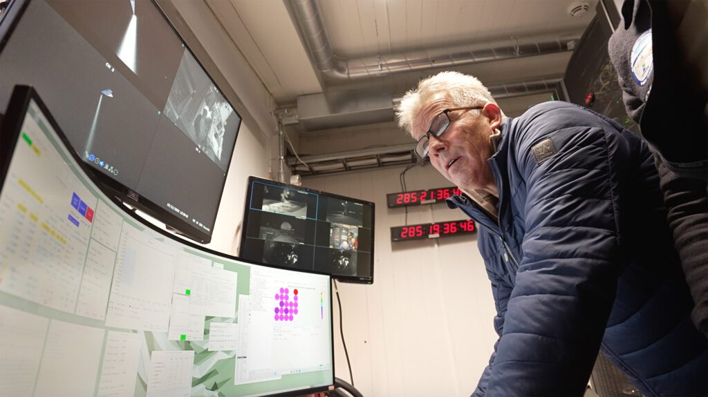
NASA Director Julie Robinson highlights the importance of international cooperation.
“It is fantastic to see the SLR system completed and operational here in Ny-Ålesund. It is also impressive to see how different organisations and nationalities come together in this important effort,” says Robinson.
Geodesy on the UN agenda
The completion of the Earth observatory comes as the United Nations is working to strengthen the global geodesy supply chain. In August 2026, UN Member States agreed to launch an international consultation process aimed at improving the governance of the infrastructure underpinning satellite-based services worldwide.
With the new SLR facility, Norway is contributing observations and data that strengthen global capacity for precise navigation, Earth observation and monitoring changes on our planet.
Did you find what you were looking for?