Photo: KONBAHS
What happens to the coastline over and under sea level when glaciers melt?
Written by Agnes Baltzer (PI of the KONBHAS project)
Adapted by Ingrid Kjerstad/NPI
KONBHAS PROJECT – PART 1 (read about new benthic habitats in the KONBHAS part 2 in this link).
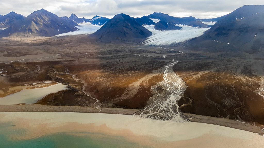
WHO: A team of geophysicists and sedimentologists, from Nantes University (France) has been working in Ny-Ålesund Research Station since 2009, every summer, to study the sediment deposits, issued from subglacial rivers of the land-terminating glacier Lovenbreen, and supplying submarine prodeltas built along the southern coast of Kongsfjorden. They are the Part 1 of the KONBHAS project working in Kongsfjorden.
Hosted by the French-German institution AWIPEV and supported by the specialized infrastructure in Ny-Ålesund Research Station, the project has been able to record the morphological evolution of the coastal area of the Kongsfjorden and associated sediment transfers!
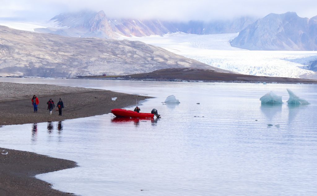
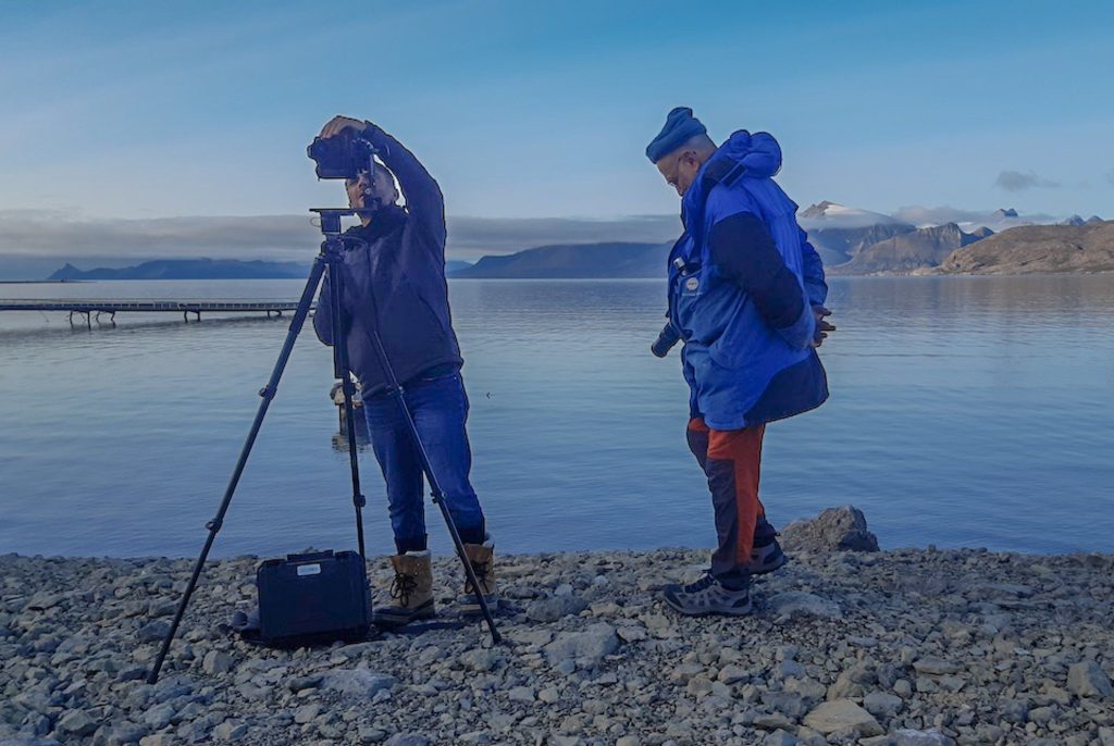
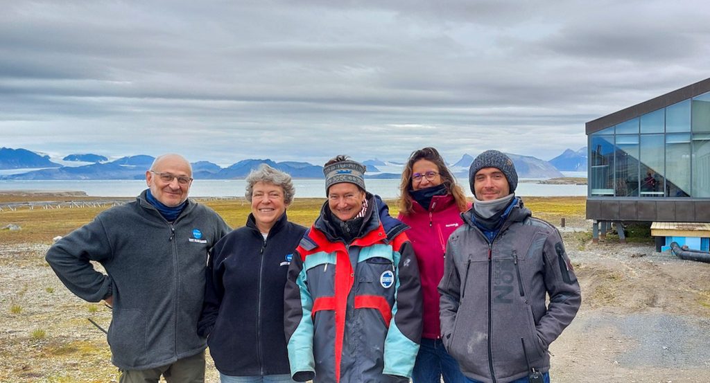
WHY: To better understand the impact of climate changes on glacial sediment transfers from continent to marine domain and record the evolution of the ecosystems from a glacial to a paraglacial system in the Kongsfjorden, considered as an early warning system of climate warming in Arctic regions. The work involves survey of the morphological and sedimentological evolution of submarine deltas and associated coastline shifts and sediment transfer processes on land.
HOW: The team has acquired side scan sonar (SSS) data and sediment samples on the same area since 2009, including during the KONBHAS project (2020-2023) : i.e. 4 times in spring and late summer in Kongsfjorden. The SSS is pulled behind the Jean Floch (IPEV boat) at a speed of 3.5 knots and give a “mosaic” of images of the sea floor. Differential Global Positioning System (DGPS) is used to track and record the successive coastline trace, and the use of Telemetric scan laser allows to acquire digital terrain models (DTM) to quantify sediment transfers on land.
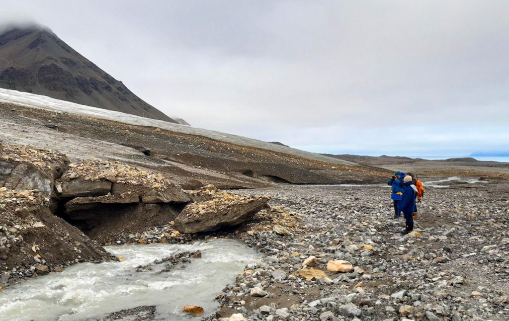

MOST IMPORTANT FINDINGS:
i) After an important sediment deposit phase followed by erosional processes due to the impact of storms (no more sea ice to protect the coast), a stabilization phase seems to have started for some of the prodeltas along the southern Kongsfjorden coast.
ii) The development of kelps, occurring for the first time in 2017 on a prodelta was interpreted as a stabilization period and is confirmed by extension of seaweeds (not only kelps now !), now visible on our SSS data acquired in 2023.
BACK IN FRANCE: The SSS data and DGPS tracking lines acquired during the successive years were processed at Nantes University. The time series analysis allows us to observe erosion/deposition on the submarine prodeltas and retrait / stabilization / progradation of the coastline.
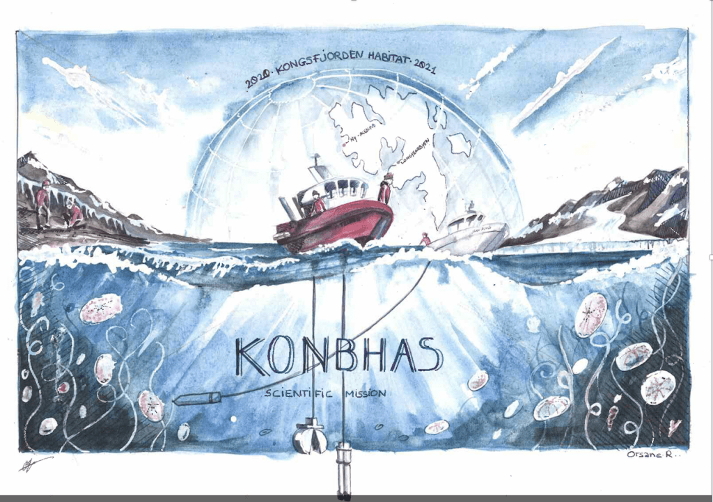
The two artists will realize a scientific-artistic exhibition in 2024, which will be exposed in different places.
THE NEXT STEP: The Kongsfjorden being a particular climate sensitive region, it is absolutely necessary to continue the times series started in 2009 to track the sedimentary and morphological impacts of the very rapid climate changes nowadays in progress.
ARTISTIC OUTREACH: Two artists joined the project for a better popularization of the project main findings as well. Their objective was to capture by drawings and paintings the difficulty of field works (!) as well as the rapid environmental changes in the Arctic region. One of their drawings is this one:
Read also about the The Kongsfjorden System Flagship (scientific network) in Ny-Ålesund Research Station that brings together scientists to increase cooperation and coordination:
The KONBHAS Project
Part 1 – Geophysics/Sedimentology
KONBHAS = Kongsfjorden new benthic habitats
Responsible institution:
Nantes University, France
Logistical support:
IPEV (French polar institute)
Funding:
Nantes University (research unit LETG : Littoral – Environment – Remote sensing – Geomatics),
Nantes University (CST Diffusion of culture and science)
Did you find what you were looking for?